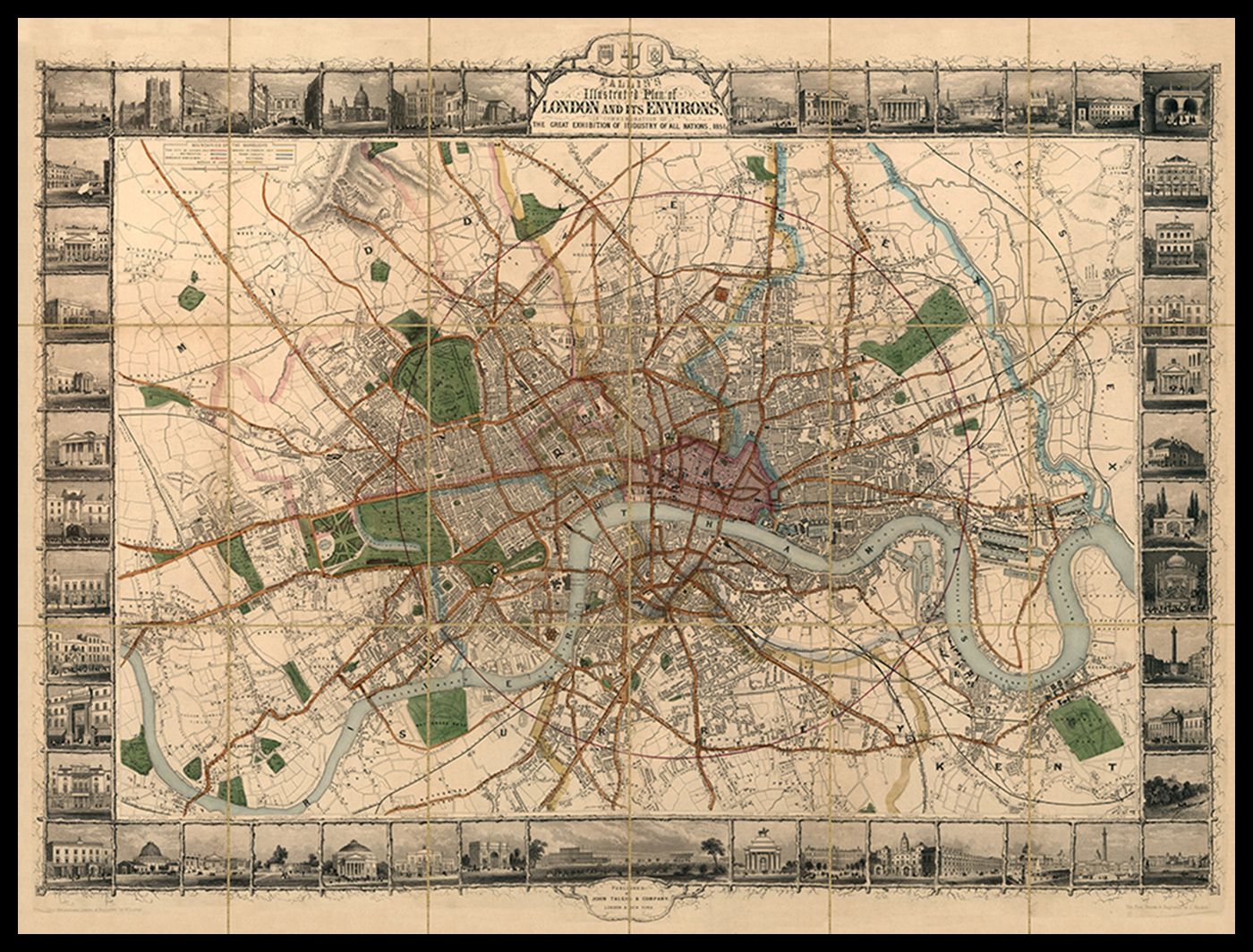
Tallis’S Illustrated Plan Of London And Its Environs, In Commemoration Of The Great Exhibition Of All Nations Tallis’S Illustrated Plan Of London And Its Environs, In Commemoration Of The Great Exhibition Of All Nations London Metropolitan Archives. Image from Old Maps Library Previous Image: Horwood's Map Of London Comments and Pings There are no responses Leave a response Cancel replyAt least a name and email address are required. Email address is never displayed. Required fields are marked *Name* Email* Website Save my name, email, and website in this browser for the next time I comment. Response*You may use the following markup: <a href="" title=""> <abbr title=""> <acronym title=""> <b> <blockquote cite=""> <cite> <code> <var> <del datetime=""> <dd> <dl> <dt> <em> <i> <li> <ol> <q cite=""> <span title=""> <strike> <strong> <sub> <sup> <ul> Comments policy Δ
Comments and Pings